Loading Shapefiles
A Shapefile can contain the boundaries of a geographic area such as an agricultural field or a lake.
It's possible to load Shapefiles into Ground Control and to automatically generate a scan pattern to cover them.
Instructions:
Obtain the set of shapefiles for the area you'd like to display in Ground Control. A set of files with endings ".shp", ".shx", and ".dbf" are required. They must all be in the same directory.
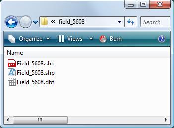
Here's a sample set of shapefiles: [download]
Launch Ground Control
Click on "Configuration" button
Select View: Position Map
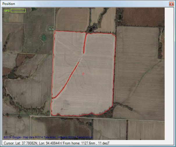
Right-click in the map area and select: Load shapefile....
Locate the desired ".shp" file and click "Open".
The position map display will now be centered on the shapefile area. Its outline will appear in red.
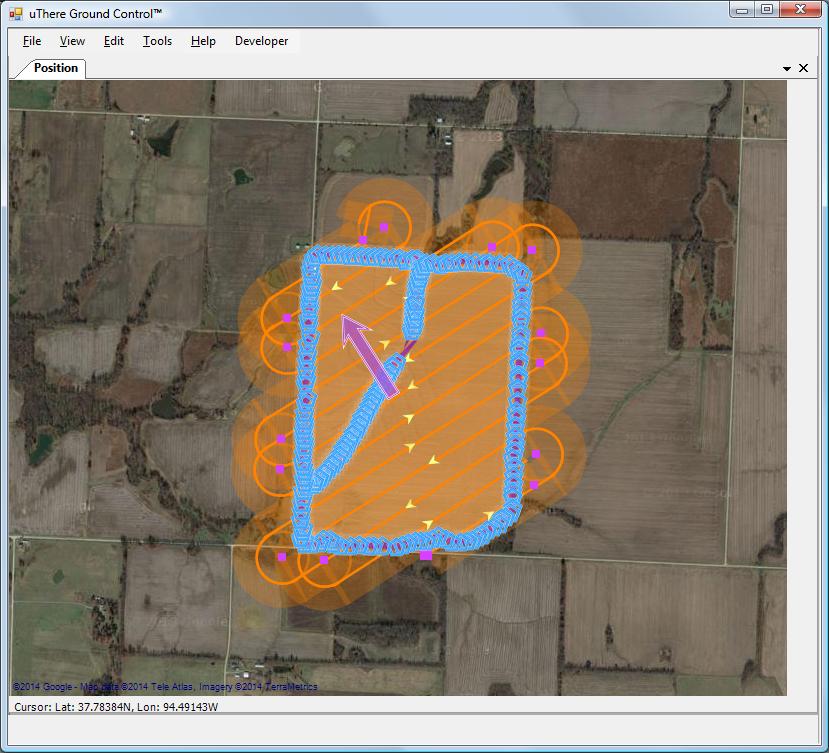
If you'd like to cover this area with a scan pattern, right click on the position map display and select "Cover shapefile with scan pattern".
|
|
|